Boundaries for Coverage
As a Phoenix native, I’m pretty familiar with the layout of the Valley; I know all the cities, the direction in which they are located and the major surrounding streets. This comes to my advantage when I create local media lists. But as I share news farther away from the Phoenix-metropolis, I need to do more research on the publications and the cities in which they lie.
When researching a new area, I often refer to Google Maps to ensure the story will be placed in the right location, but it’s harder to discern boundaries when dealing with unfamiliar tiny towns.
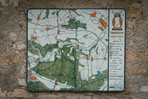
After pitching a story up north, an editor of a hyperlocal newspaper replied to me with a map of the city outlining the areas in which they cover. The story I suggested occurred seven miles outside of the newspaper’s boundary, something I wouldn’t have been able to see through Google Maps.
I’ve received a couple of these maps before and would encourage all publications to do something similar as it would save themselves time weeding through stories that are on the border of coverage.
Recently, I created a media list for a city I’ve never heard of in a different state. Since these maps have been so helpful to me in the past, I decided to create my own map. With each new publication I found and researched, I added important information like zip codes and landmarks to my map.
While I wouldn’t consider myself a visual learner, the detailed map helped me create an accurate media list to make the pitching process easier.

